Welcome to the  
SMAPEx-5 Archive
Soil Moisture Active Passive Experiment

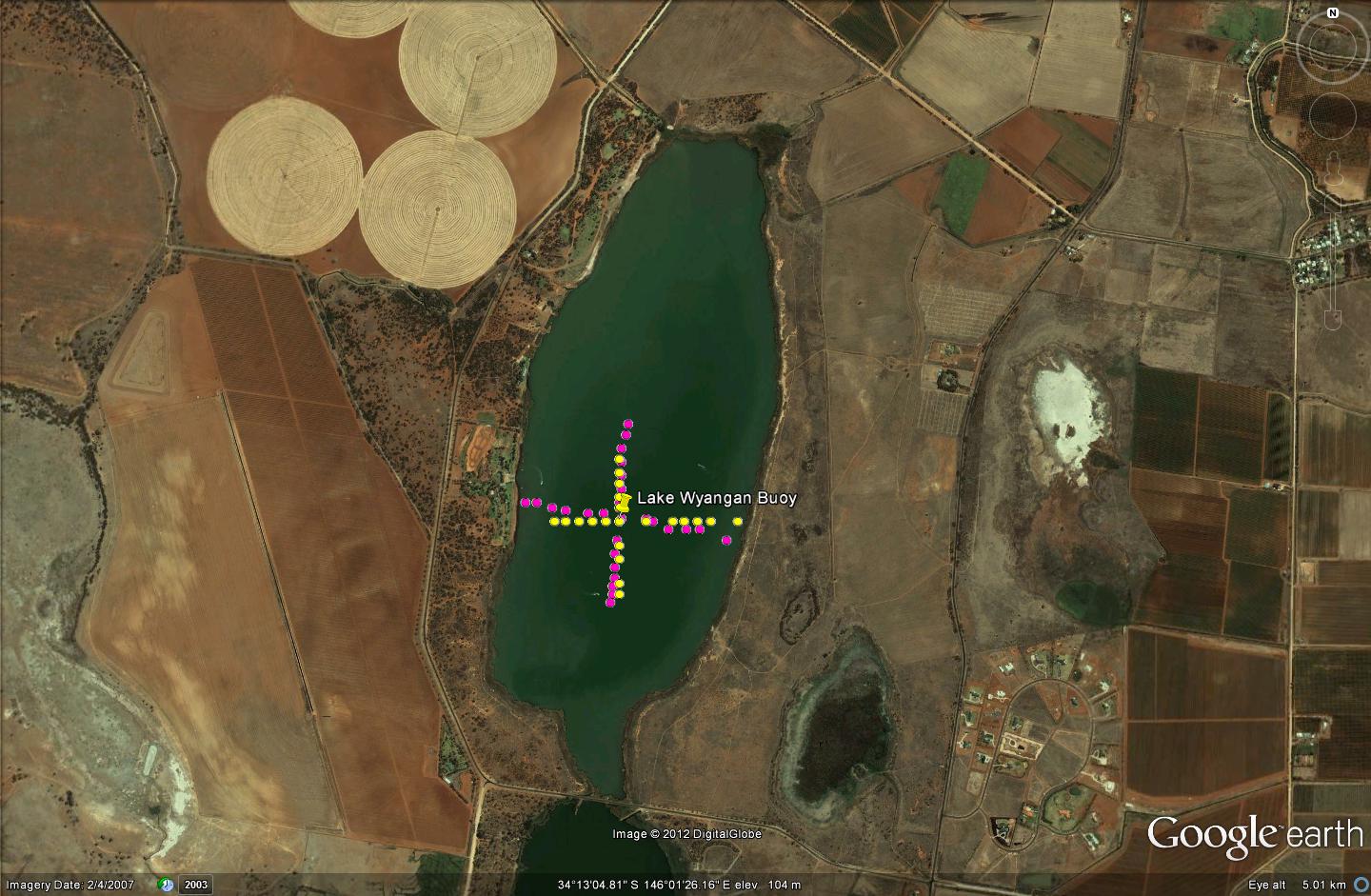
Lake Wyangan Calibration


Lake Wyangan was used as a cold target for daily in-flight calibration of PLMR, performed before and after each Regional flight. PLMR was flown at the lowest permissible altitude (500ft) so that the swath of the instrument (300m at 500ft) was entirely included within the lake boundary along a distance of around 1km. Water temperature and salinity within the top 1cm layer of water were monitored continuously during the campaign using a UNIDATA 6536BR temperature and salinity sensor connected to a logger on Lake Wyangan.
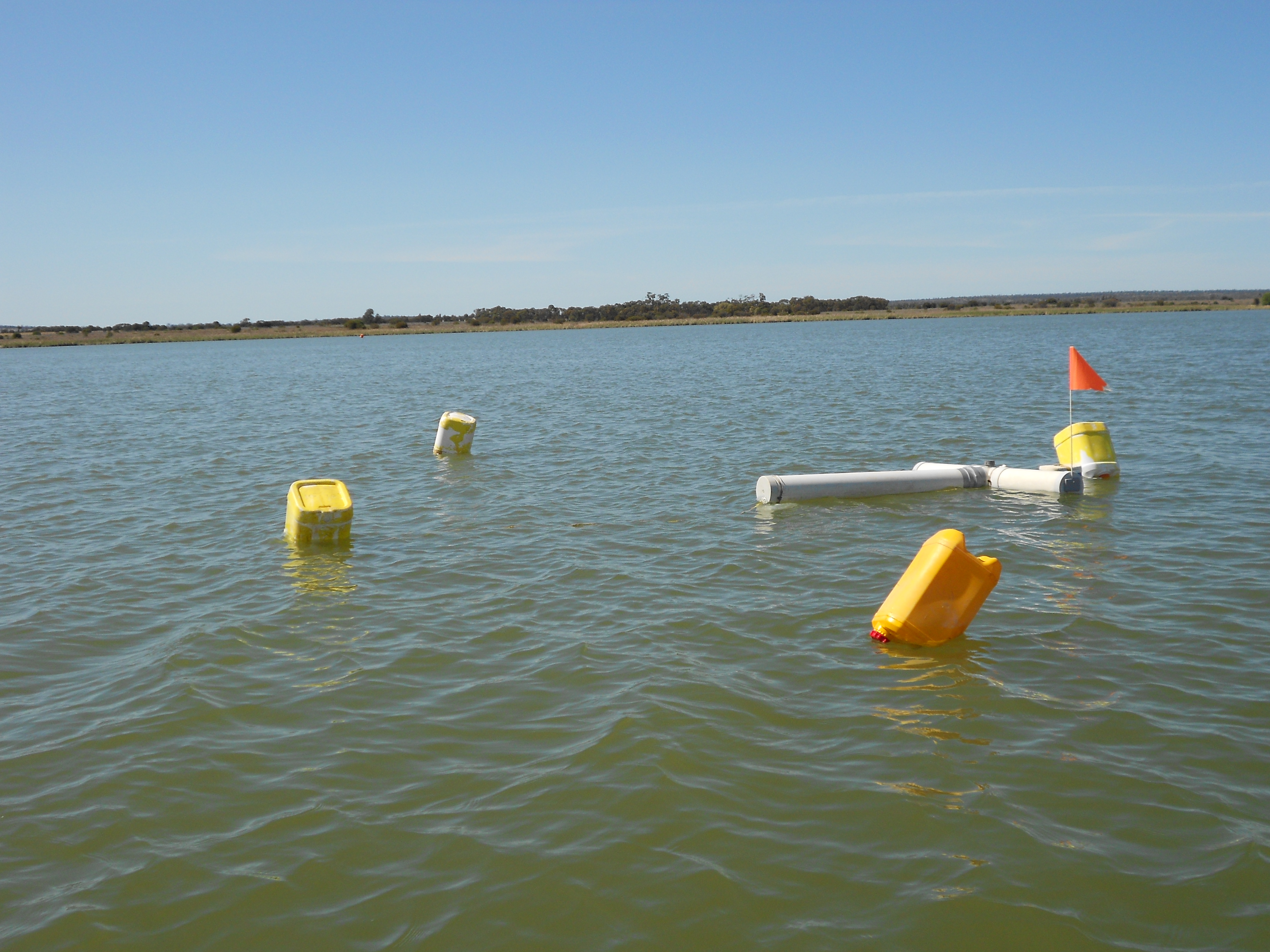
Furthermore, transects of water temperature and salinity in the top 1cm layer were undertaken with a handheld EC meter, in north-south and east-west directions at 50m spacing centred on the monitoring station. Data from both the monitoring station and transects can be downloaded from the Download Centre, and graphically viewed below.


roughness sampling
Map of Lake Wyangan PLMR calibration set-up


Water temperature and salinity station


Created: February 2015
Last Modified: June 2016
Maintainer: Xiaoling Wu, xiaoling.wu@monash.edu